 Trails and pilgrimage routes
“A 75-mile slow journey on an age-old route with a spectacular start: 2.5 miles from Bologna to Mount Adone under the longest porticoed gallery in the world“
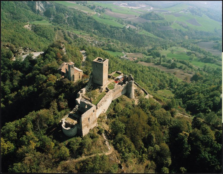
It’s called Way of the Gods, and it’s as old as the hills. In ancient times, this path was part of the Etruscan road network and was used to connect the Tuscan cities to northern Italy in order to reinforce Etruscan dominance. According to historians, it was originally laid out between the 7th and 4th centuries BC, although it was Roman engineers who then proceeded with the actual construction work.
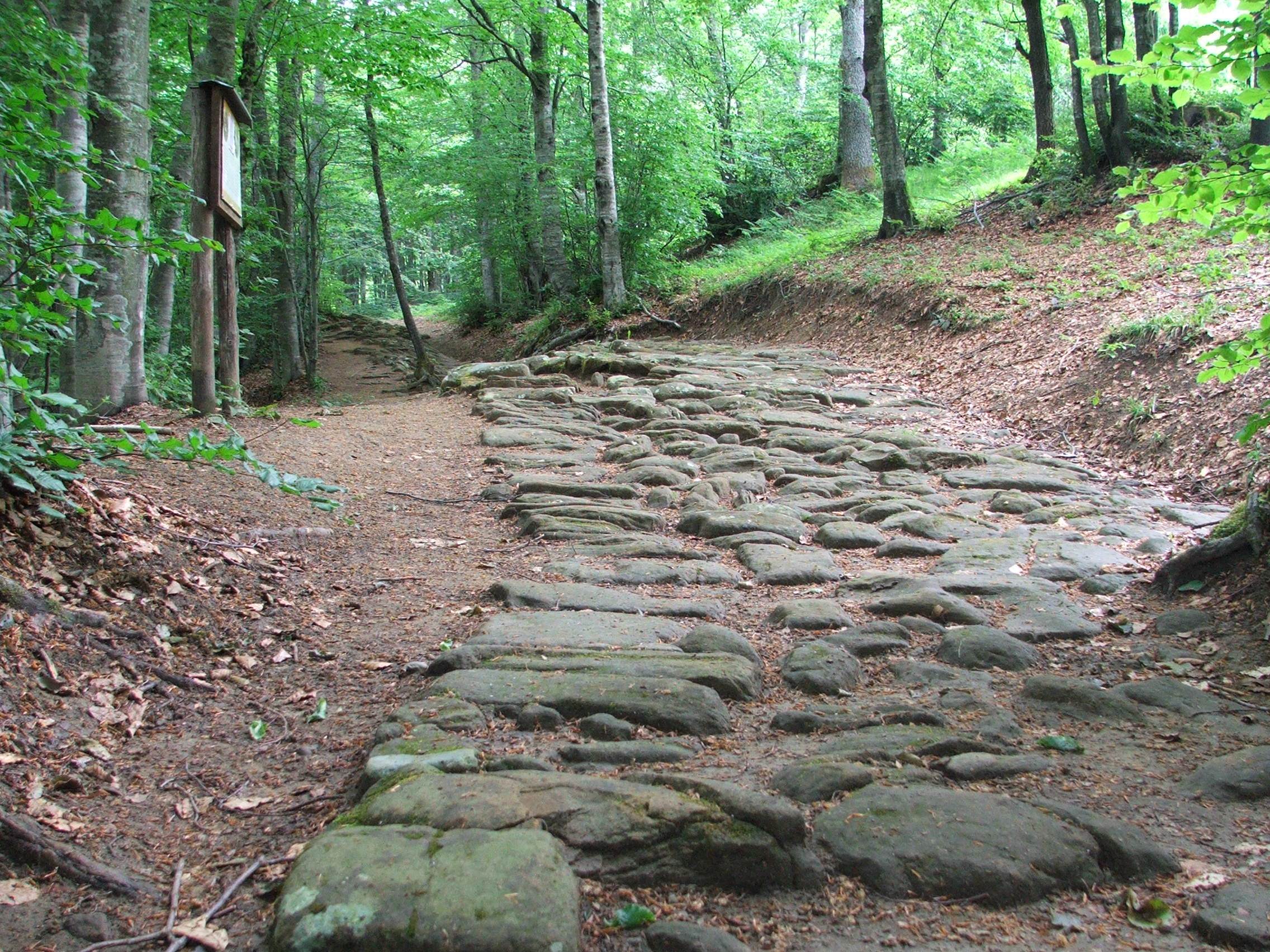
In 187 BC, just a few years after the foundation of Bononia (Bologna), the Roman consul Caius Flaminius decided to expand the ancient Etruscan route for defensive purposes; the Flaminia Military Road (as it was known back then) served as a shortcut to move the Legions of the army quickly from the south to the north, without having to use the longer Via Flaminia.
With the fall of the Roman empire, the route, along with other imperial consular roads, fell into disrepair. It was reduced to a simple path, although it remained a convenient route between the cities of Florence and Bologna until modern roads took over. The Way of the Gods was rediscovered by a group of hiking enthusiasts in the 1980s, who then restored it and renamed it the “Way of the Gods“, after the places it passes through – Mount Adonis, Mount Venere (Venus) and Mount Giunone (Juno).
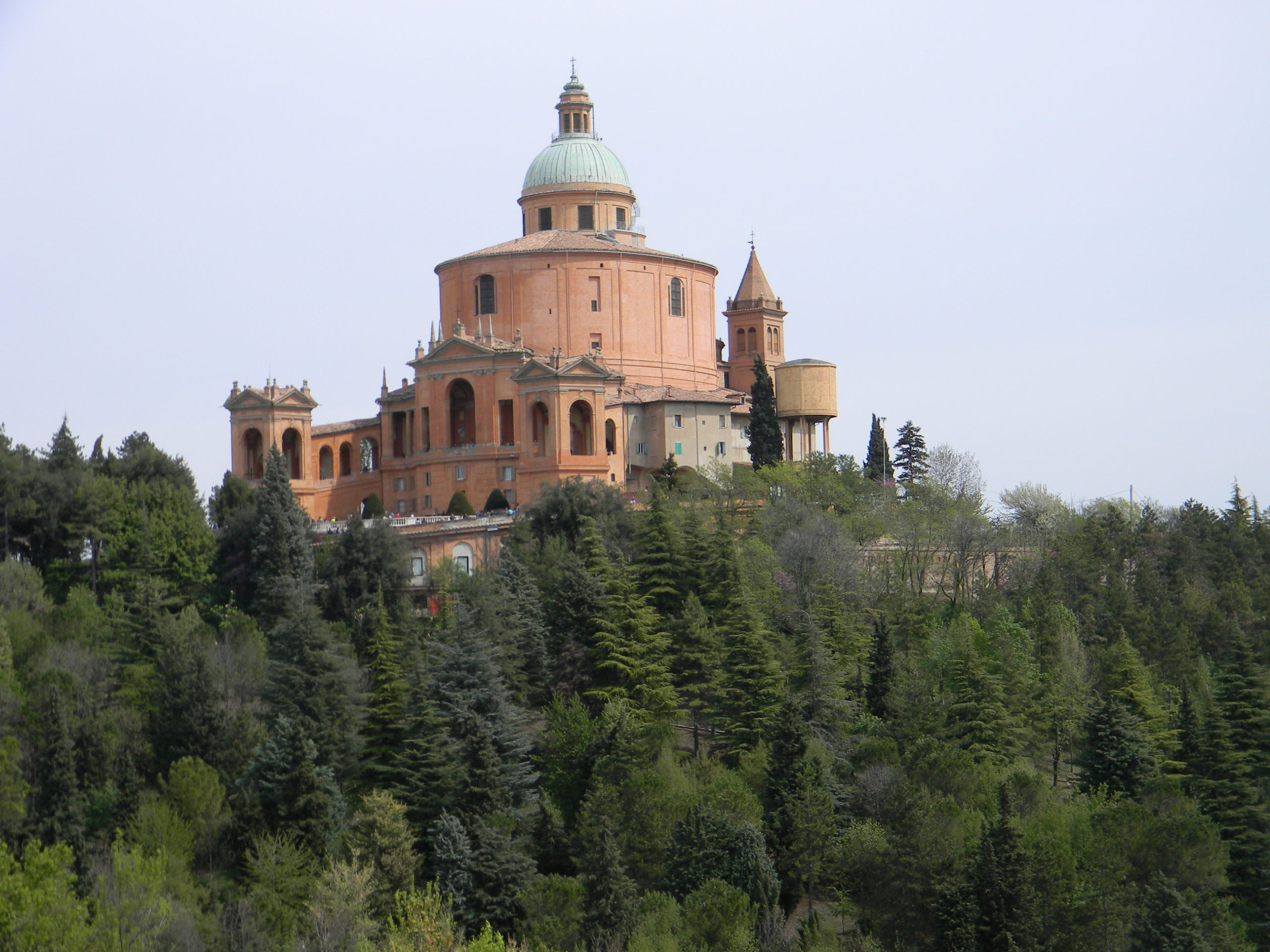
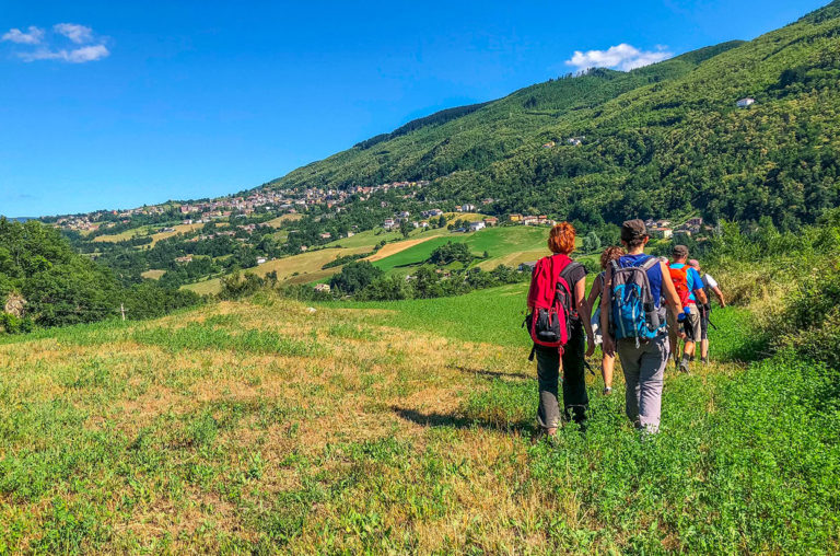
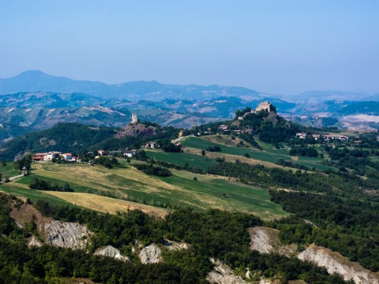
Today, the Way of the Gods is an extraordinary route that unwinds among breathtaking landscapes of the Tuscan-Emilian Apennines. Come spring, the Way of the Gods is the preferred destination for travelers who want to see the cities of Florence and Bologna while discovering the Apennines.Forget motorways, trains and cars and rediscover the good old slow ways amid these beautiful landscapes. The Way of the Gods will repay you with some amazing views and great memories.
Services and practical information
The Way of the Gods is signposted all the way through, with information about distances, walking times, and the places to visit along the road. The official website has also suggestions on where to eat and sleep.
The Way is usually divided into 5 stages, and the website has plenty of tips on the sights to look out for as you go.
Stage 1 | Bologna – Badolo
Stage 2 | Badolo – Madonna dei Fornelli
Stage 3 | Madonna dei Fornelli – Mount Fò
Stage 4 | Mount Fò – San Piero a Sieve
Stage 5 | San Piero a Sieve – Florence
The Way of the Gods official App (Android only) provides technical details, GPS tracks, accommodation information, tips, curiosities, pictures and everything else you need to plan your walk.
For any info about [Emilia RomagnaSlow] please contact < m.valeri@aptservizi.com >
Author

Walter Manni
Explorer and Adventurer: loves sailing the oceans, climbing the highest mountains and surfing on the waves of the web
You may also like
by Walter Manni ///
Monasteries and Spiritual walks in Emilia-Romagna
by Davide Marino /// May 3, 2019

Interested in our newsletter?
Every first of the month, an email (in Italian) with selected contents and upcoming events.
7 Iconic Places along the Cammino di San Vicinio
by Margherita e Nick The Crowded Planet /// January 17, 2022
Hiking and Cycling Dante’s Way
by Margherita e Nick The Crowded Planet /// November 23, 2020
by Walter Manni ///
Monasteries and Spiritual walks in Emilia-Romagna
by Davide Marino /// May 3, 2019
7 Iconic Places along the Cammino di San Vicinio
by Margherita e Nick The Crowded Planet /// January 17, 2022
Hiking and Cycling Dante’s Way
by Margherita e Nick The Crowded Planet /// November 23, 2020
.
Looking forward to it when I come to Italy!
Note that most of the web links are not valid.
Have you thought of having the English text checked by a native speaker, for this page and the other trails as well?
Thank you for the info!
Walter Manni
Hi,
thanks for your advice, we just updated links in the article 😉
Walter